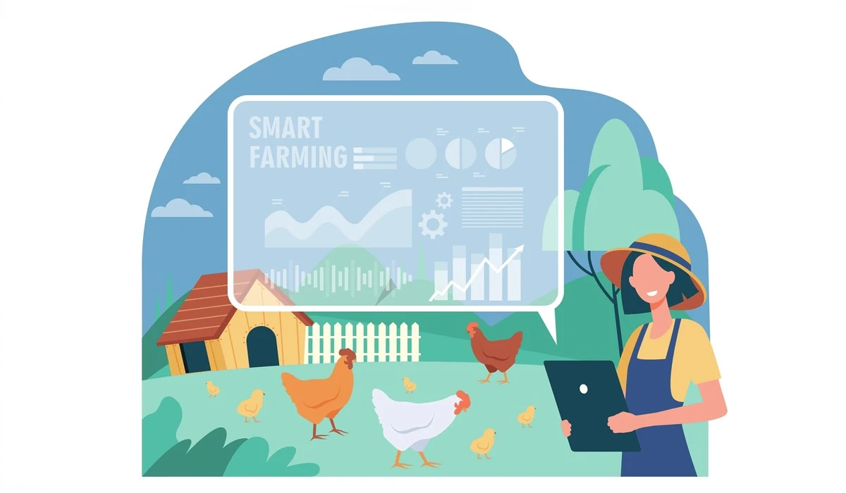
Can Geospatial Mapping Increase Farm Profits?
Farming in current times feels like gambling with the house holding all the cards. You fight erratic weather, rising input costs, and razor-thin margins every single season. Most growers rely on their gut and decades of family tradition. Yet, even the most experienced eye cannot see the chemical shifts happening under a single corn stalk or across a thousand-acre spread. Geospatial Mapping changes this reality by turning your acreage into a digital ledger. This technology acts as an eye in the sky, changing a guessing game into a high-precision business. You stop treating the whole farm as a single unit and start managing every square foot based on its actual needs. This shift from intuition to knowledge keeps your money where it belongs, in your bank account rather than wasted in the dirt.
The Evolution of Field Management and Spatial Awareness
In the past, farmers spent weeks walking rows to find dry spots or signs of pest infestations. This manual scouting left too much to chance, as you might miss a fungal outbreak in the center of a massive field until the damage became irreversible. Dr. Roger Tomlinson changed this trajectory when he developed the first operational Geographic Information System in 1962. He created this for the Canada Land Inventory to manage rural land capability more effectively.
According to the University Consortium for Geographic Information Science (UCGIS), Tomlinson’s computerized approach shortened a massive land-mapping task from three years to just several weeks. The biography also notes that his method slashed the cost from $8 million down to $2 million. This leap forward established the base for modern digital oversight. You no longer wander your fields hoping to spot a problem. Instead, you use digital layers to identify issues before they affect your bottom line.
From Manual Scouting to Digital Oversight
Traditional land management relies on surface-level observations. You see the color of the leaves and the moisture of the topsoil, but you miss the deeper patterns. Digital oversight provides a holistic view of the farm’s health that the naked eye simply cannot catch. Through the layering of geographic data, you see how soil types, elevation, and moisture interact. This bird’s-eye perspective allows you to spot trends across your entire operation, ensuring that no section of your land underperforms.
Driving ROI with Advanced Geospatial Mapping
Every acre of your land possesses different potential and unique challenges. Treating a sandy ridge the same as a fertile bottomland wastes expensive seed and fertilizer. Using Geospatial Mapping allows for variable rate seeding and fertilization, which directly affects your Return on Investment. You program your equipment to drop more seeds in high-potential areas and fewer in poor soil, ensuring every dollar spent on inputs has the highest chance of returning a profit.
Why is geospatial mapping important for crop yields? Tailoring resource distribution to the specific needs of different field zones allows farmers to maximize the output of every acre while significantly reducing input costs. This precision improves yields by an average of 18% to 25%. Some research even shows gains reaching 30% in highly variable fields. Furthermore, nitrogen savings alone can save you $5 per acre, which adds up quickly across a large operation.
Precision Planting and Variable Rate Application
Variable Rate Application (VRA) technology relies on spatial data to adjust input levels in real-time. Instead of a flat rate across the field, your machinery talks to a digital map. This map tells the sprayer exactly where to increase or decrease the flow of nutrients. In a UK wheat trial, using variable rate nitrogen based on biomass maps resulted in a gross margin increase of over $135 per hectare. These savings represent pure profit that previously vanished through over-application in low-yield zones.
Utilizing Satellite Topography for Land Optimization
Water management determines whether you harvest a healthy crop or a drowned swamp. Satellite topography identifies low-lying areas and natural water paths that dictate the flow of moisture across your land. You can use Digital Elevation Models (DEM) to simulate how water moves through your property during a heavy rain event. This data allows you to place irrigation hardware or drainage tile with centimeter-level accuracy, preventing costly crop loss from standing water. Satellite topography also reveals subtle grade changes that affect how tractors consume fuel on inclines.
High-resolution Lidar data shows you elevation changes that are impossible to see from the seat of a tractor. Knowing the aspect, or the compass direction a slope faces, allows you to predict sunlight exposure and evaporation rates. This helps you select the right crop varieties for specific slopes. Farmers who gain command over their satellite topography see fewer drowned spots and more consistent growth across their entire acreage. Constant monitoring of satellite topography ensures that your terrace designs stay effective even as the ground settles over several seasons.
Commanding Drainage and Irrigation Patterns
As noted in a study published in Applied Water Science, modern satellite topography analytics use datasets ranging from 30-meter resolution to sub-meter accuracy. You can use the Topographic Wetness Index (TWI) to model drainage morphometry and predict where soil moisture will accumulate most heavily. This allows you to install drainage systems only where they are absolutely necessary, saving on construction costs. Optimized irrigation placement guided by satellite topography also reduces water waste, lowering your utility bills and preserving local water resources.
Mitigating Soil Erosion in High-Risk Zones
Soil erosion remains a massive threat to your farm's long-term value. Data from satellite topography identifies steep slopes that require contour farming or specific terracing techniques. Research shows that managing these slopes through spatial data can reduce topsoil loss by up to 50%. You can also plan cover crops in areas prone to runoff, keeping your most valuable nutrient-rich soil from washing away into local streams. Preserving your topsoil today through satellite topography insights ensures the productivity of your farm for decades.
Visualizing Success Through Detailed GIS Charting
Data is useless if you cannot see it and act on it quickly. GIS charting creates multi-layered interactive maps that turn complicated spreadsheets into visual tools. You can overlay soil pH, moisture levels, and historical yield data on a single screen to see the big picture of your operation. This creates a heat map of your farm, highlighting exactly where you need to intervene to save a crop or boost a yield. Frequent GIS charting updates allow you to track crop progress week by week.
Targeted Field Management
Healthy plants reflect near-infrared light differently from stressed ones, and GIS charting lets you see this change. Research published via the National Center for Biotechnology Information (NCBI) confirms that the Normalized Difference Vegetation Index (NDVI) is the industry standard for this measurement. A study in Precision Agriculture notes that most healthy vegetation scores between 0.6 and 0.9 on this scale. If your GIS charting reveals a dip in these numbers, you know a problem is brewing before the plants even turn yellow. This visual feedback through GIS charting lets you apply pesticides only to the affected zones, cutting chemical costs by half.
How do farmers use GIS data in the field? Farmers use these visual charts on mobile devices to navigate to exact coordinates where soil or pest issues were flagged, ensuring immediate and accurate intervention. This surgical approach to farming saves time and resources. Instead of treating the whole field for a pest that only exists in one corner, you use GIS charting to target the specific spot and move on to the next task.
Overlaying Nutrient Density and Soil Health
Advanced GIS charting enables a technique known as grid sampling, often using 2.5-acre units. You collect soil samples from these specific points and use algorithms like Inverse Distance Weighting (IDW) to create ongoing fertility maps. This GIS charting process allows for Zone Delineation, where you divide a field into sub-units based on actual nutrient needs. You then apply lime, phosphorus, or potassium only where your GIS charting indicates a deficiency, preventing the waste of expensive soil amendments.
Integrating Geospatial Mapping into Seasonal Planning
Long-term profits require more than just daily fixes; they require a deep look at historical trends. Geospatial Mapping lets you compare yield maps from the last five years to identify patterns that intuition misses. You quickly find lazy acres that consistently cost more in fertilizer and seed than they return in grain. Identifying these areas allows you to make hard decisions about land use that protect your overall profitability. You might decide to put a low-yield zone into a conservation program to save on input costs.
Meanwhile, spatial data helps you plan the logistics of your busiest seasons. During harvest, every minute counts, and fuel costs can eat your margins. You can use Geospatial Mapping to plan the most waste-free routes for your heavy machinery. This reduces the time your tractors spend idling and the distance they travel between fields, keeping your operational costs as low as possible. Planning your routes with Geospatial Mapping also minimizes soil compaction, which preserves the root health of your next crop.
Historical Yield Analysis and Trend Tracking
Comparing year-over-year data reveals how your land responds to different weather patterns and crop rotations. If a specific zone underperforms during dry years but excels during wet ones, you can adjust your planting strategy accordingly. This historical analysis turns every harvest into a learning opportunity. You stop repeating the same mistakes and start refining your strategy based on hard evidence of what actually works on your specific soil. This long-term use of GIS charting builds a comprehensive story of your farm's productivity.
Streamlining Logistics and Harvest Routes
Harvest season puts immense pressure on both your equipment and your crew. Using Geospatial Mapping to optimize machinery paths reduces soil compaction and fuel consumption. You can map out the most productive way to move grain carts and combines to minimize unnecessary travel. This logistical precision ensures you get the crop out of the field and into storage before the weather turns, protecting the quality of your harvest. Integrated satellite topography data helps operators avoid steep or unstable paths when carrying heavy loads.
Breaking Down the Technical Barriers to Entry
Many growers worry that new technology is too complicated or carries a price tag that only mega-farms can afford. In reality, the tools have become much more accessible and user-friendly in recent years. You should look for systems that use the ISO 11783 (ISOBUS) standard. This ensures that your tractor, your planter, and your mapping software all communicate without errors, regardless of the brand. Using GIS charting tools with standard formats allows you to switch between software providers without losing your historical data.
Is geospatial mapping expensive for small farms? While high-end systems exist, many entry-level platforms offer scalable pricing that allows smaller operations to benefit from precision data without massive upfront capital. According to the NCBI, you can even start with free data from NASA’s Landsat 8 and 9 satellites. These free resources provide high-resolution imagery that helps you build your first GIS charting layers without spending a dime on data. Regular updates from these satellites ensure your satellite topography models stay current even after major earth-moving projects.
Choosing the Right Software and Hardware
When selecting a platform, prioritize user-friendly interfaces and mobile compatibility. You want a system that works as well in the cab of a tractor as it does in the farm office. Scalable tools allow you to start small, perhaps mapping just your most problematic field, and then expand as you see the financial benefits. Investing in hardware that supports high-resolution satellite topography ensures you can plan difficult drainage projects with confidence.
The Long-Term Financial Effect of Spatial Data
Your land is your greatest asset, and documenting its health increases its market value. If you ever decide to sell or lease your acreage, a digital history of high yields and managed soil health proves the land's worth to potential buyers. They pay a premium for fields with a proven, data-backed track record of productivity. Precision data acts as a digital resume for your farm, showing years of careful management and high performance. Detailed GIS charting records act as undeniable proof of your stewardship.
Furthermore, a report in Applied Water Science mentions that documenting your practices through spatial data opens doors to new revenue streams like carbon credits and environmental subsidies. When you prove that you reduced nutrient runoff by 25% or more, you qualify for programs that pay you for being a good steward of the land. Using satellite topography to demonstrate erosion control measures can also qualify you for specific state and federal grants. You turn your farm into a modern, data-driven enterprise that thrives regardless of market volatility.
Enhancing Land Value and Future-Proofing
Future-proofing your farm means staying ahead of regulatory changes and market shifts. Precision data allows you to prove your compliance with environmental standards easily. Meanwhile, the consistent yield improvements you gain from using spatial data provide a financial cushion against lean years. Adopting Geospatial Mapping means you are not just buying a tool; you are securing the financial foundation of your legacy. Ongoing GIS charting and satellite topography analysis keep you competitive in an increasingly tech-heavy industry.
Securing Your Legacy with Geospatial Mapping
Farming success depends on clear land visibility rather than just hard work. The competitive edge belongs to those who replace guesswork with precision. Geospatial Mapping provides the clarity needed to navigate thin margins, rising costs, and a changing climate. It turns every seed, every bag of fertilizer, and every drop of water into a strategic investment in your future. Data-driven decisions protect your soil, your yields, and your family's heritage. Stop leaving your profits in the dirt and start seeing your land for the powerhouse of data it truly is. A commitment to spatial precision ensures your farm remains profitable and productive for the next generation.
Recently Added
Categories
- Arts And Humanities
- Blog
- Business And Management
- Criminology
- Education
- Environment And Conservation
- Farming And Animal Care
- Geopolitics
- Lifestyle And Beauty
- Medicine And Science
- Mental Health
- Nutrition And Diet
- Religion And Spirituality
- Social Care And Health
- Sport And Fitness
- Technology
- Uncategorized
- Videos